Woodlands Park
Introduction
The photograph on this page of Woodlands Park by Keith Edkins as part of the Geograph project.
The Geograph project started in 2005 with the aim of publishing, organising and preserving representative images for every square kilometre of Great Britain, Ireland and the Isle of Man.

There are currently over 7.5m images from over 14,400 individuals and you can help contribute to the project by visiting https://www.geograph.org.uk
Woodlands Park
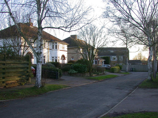
Image: © Keith Edkins Taken: 24 Jan 2008
The cross-piece of this T-shaped road just falls into this grid square
Images are licensed for reuse under creativecommons.org/licenses/by-sa/2.0
Image Location
Latitude
52.239515
Longitude
0.077318