Horsleyhope Farms
Introduction
The photograph on this page of Horsleyhope Farms by Robert Graham as part of the Geograph project.
The Geograph project started in 2005 with the aim of publishing, organising and preserving representative images for every square kilometre of Great Britain, Ireland and the Isle of Man.

There are currently over 7.5m images from over 14,400 individuals and you can help contribute to the project by visiting https://www.geograph.org.uk
Horsleyhope Farms
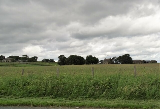
Image: © Robert Graham Taken: 23 Jun 2020
A view of Middle and High Horsleyhope Farms from the road to Healeyfield. These farms occupy the last of the grazing fields before the open moorland higher up.
Images are licensed for reuse under creativecommons.org/licenses/by-sa/2.0
Image Location
Latitude
54.82213
Longitude
-1.907677