Watercourse, Dudbridge
Introduction
The photograph on this page of Watercourse, Dudbridge by Chris Allen as part of the Geograph project.
The Geograph project started in 2005 with the aim of publishing, organising and preserving representative images for every square kilometre of Great Britain, Ireland and the Isle of Man.

There are currently over 7.5m images from over 14,400 individuals and you can help contribute to the project by visiting https://www.geograph.org.uk
Watercourse, Dudbridge
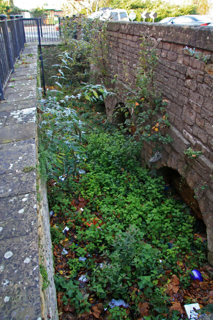
Image: © Chris Allen Taken: 23 Nov 2013
This is between the main road and a Sainsbury's at Dudbridge and is likely to represent part of a former watercourse supplying a water powered mill. There is absolutely no interpretation associated with this feature. I would appreciate any further information or corrections on this image.
Images are licensed for reuse under creativecommons.org/licenses/by-sa/2.0
Image Location


Leaflet Map data © OpenStreetMap
Latitude
51.739949
Longitude
-2.240359