Sheila Saunders Lawn, Queenshill Approach
Introduction
The photograph on this page of Sheila Saunders Lawn, Queenshill Approach by Stephen Craven as part of the Geograph project.
The Geograph project started in 2005 with the aim of publishing, organising and preserving representative images for every square kilometre of Great Britain, Ireland and the Isle of Man.

There are currently over 7.5m images from over 14,400 individuals and you can help contribute to the project by visiting https://www.geograph.org.uk
Sheila Saunders Lawn, Queenshill Approach
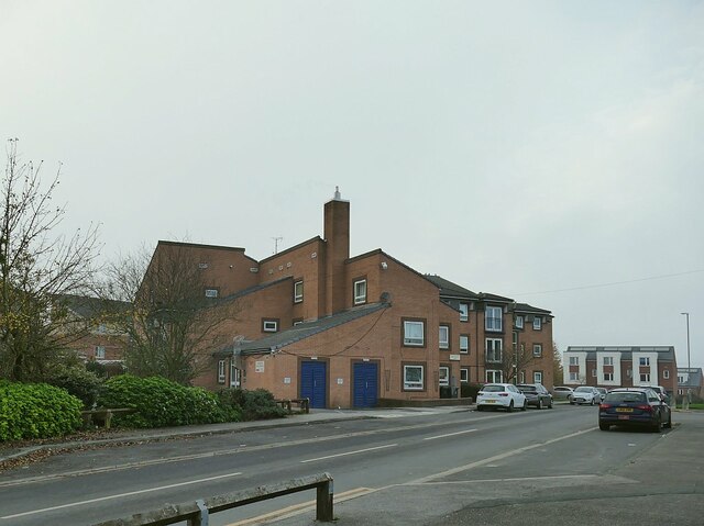
Image: © Stephen Craven Taken: 7 Nov 2020
A sheltered housing scheme built in 1984 by the Leeds Jewish Housing Association. 'Lawn' is a term used in Leeds (perhaps uniquely) to mean a community building, rather than a grassed area.
Images are licensed for reuse under creativecommons.org/licenses/by-sa/2.0
Image Location
Latitude
53.844574
Longitude
-1.543243