NER houses, Kirkstall Lane
Introduction
The photograph on this page of NER houses, Kirkstall Lane by Stephen Craven as part of the Geograph project.
The Geograph project started in 2005 with the aim of publishing, organising and preserving representative images for every square kilometre of Great Britain, Ireland and the Isle of Man.

There are currently over 7.5m images from over 14,400 individuals and you can help contribute to the project by visiting https://www.geograph.org.uk
NER houses, Kirkstall Lane
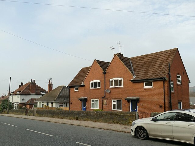
Image: © Stephen Craven Taken: 7 Nov 2020
These houses - two pairs of semis and a bungalow - bear the plaques of the "NER Cottage Homes and Benefit Fund" and dates between 1922 (furthest) and 1926 (nearest to the camera). NER is North Eastern Railway: these are close to Headingley station.
Images are licensed for reuse under creativecommons.org/licenses/by-sa/2.0
Image Location
Latitude
53.816983
Longitude
-1.594122