Benchmark, Greenfield Lane, Newton
Introduction
The photograph on this page of Benchmark, Greenfield Lane, Newton by BrianPritchard as part of the Geograph project.
The Geograph project started in 2005 with the aim of publishing, organising and preserving representative images for every square kilometre of Great Britain, Ireland and the Isle of Man.

There are currently over 7.5m images from over 14,400 individuals and you can help contribute to the project by visiting https://www.geograph.org.uk
Benchmark, Greenfield Lane, Newton
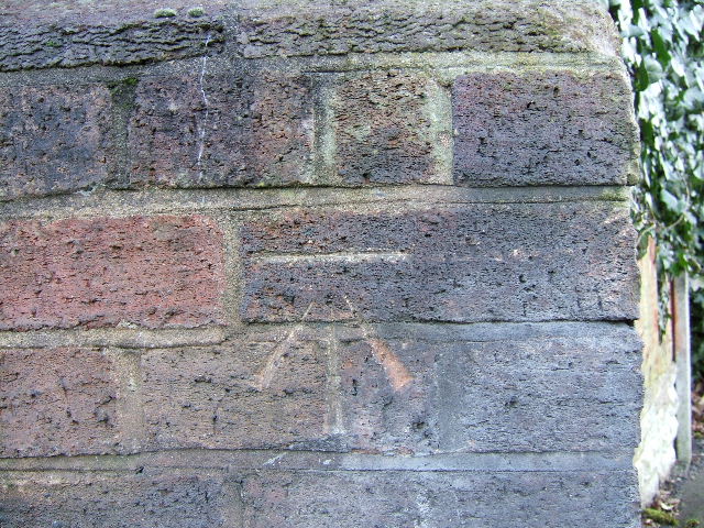
Image: © BrianPritchard Taken: 24 Jan 2008
On the south side of Greenfield Lane, at the bottom right corner of the wall that crosses the disused railway line, you will find this Benchmark
Images are licensed for reuse under creativecommons.org/licenses/by-sa/2.0
Image Location
Latitude
53.208557
Longitude
-2.861494