Branken Wall Farm
Introduction
The photograph on this page of Branken Wall Farm by Stephen Craven as part of the Geograph project.
The Geograph project started in 2005 with the aim of publishing, organising and preserving representative images for every square kilometre of Great Britain, Ireland and the Isle of Man.

There are currently over 7.5m images from over 14,400 individuals and you can help contribute to the project by visiting https://www.geograph.org.uk
Branken Wall Farm
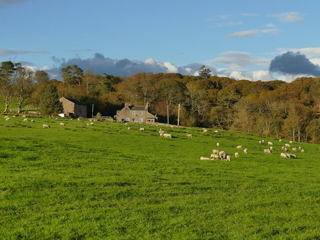
Image: © Stephen Craven Taken: 14 Oct 2020
There's supposed to be a bridleway across the field, but it's not evident on the ground. Most people presumably follow the access track Image instead.
Images are licensed for reuse under creativecommons.org/licenses/by-sa/2.0
Image Location
Latitude
54.36016
Longitude
-3.388959