Houses on Winterfield Park
Introduction
The photograph on this page of Houses on Winterfield Park by Nigel Mykura as part of the Geograph project.
The Geograph project started in 2005 with the aim of publishing, organising and preserving representative images for every square kilometre of Great Britain, Ireland and the Isle of Man.

There are currently over 7.5m images from over 14,400 individuals and you can help contribute to the project by visiting https://www.geograph.org.uk
Houses on Winterfield Park
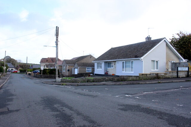
Image: © Nigel Mykura Taken: 2 Nov 2020
Winterfield Park is one of a number of small residential roads just off Winterfield Road, the B3355, on the southern edge of Paulton. This bungalow is at the junction with Oaklands.
Images are licensed for reuse under creativecommons.org/licenses/by-sa/2.0
Image Location
Latitude
51.300987
Longitude
-2.49682