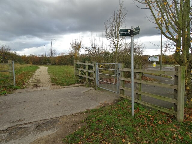
Archaeological Way south of Shirebrook
Introduction
The photograph on this page of Archaeological Way south of Shirebrook by Neil Theasby as part of the Geograph project.
The Geograph project started in 2005 with the aim of publishing, organising and preserving representative images for every square kilometre of Great Britain, Ireland and the Isle of Man.
There are currently over 7.5m images from over 14,400 individuals and you can help contribute to the project by visiting https://www.geograph.org.uk

Image: © Neil Theasby Taken: 4 Nov 2020
Derbyshire County Council say this about Archaeological Way: "Travel the Archaeological Way and you’ll be walking in the footsteps of history through a changing limestone landscape. The underlying geology of Permian Magnesian Limestone has helped create the landscape you see today. Grasslands, farmland and woodlands are crossed by small streams which carved gorges and vales, such as Creswell Crags and Pleasley Vale. Disused railway lines and old colliery sites are transformed into trails and country parks. Shirebrook Wood, Poulter and Pleasley Pit country parks are now havens for wildlife."

