Raynville Rise signage
Introduction
The photograph on this page of Raynville Rise signage by Stephen Craven as part of the Geograph project.
The Geograph project started in 2005 with the aim of publishing, organising and preserving representative images for every square kilometre of Great Britain, Ireland and the Isle of Man.

There are currently over 7.5m images from over 14,400 individuals and you can help contribute to the project by visiting https://www.geograph.org.uk
Raynville Rise signage
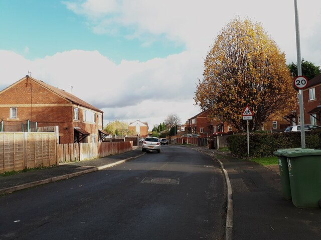
Image: © Stephen Craven Taken: 4 Nov 2020
The 20mph limit applies to all the roads on this estate. There is also a school warning sign although there is no school on this road. But Raynville primary school is a few hundred metres off to the right, and although not directly connected by road from here there is a footpath from the school that emerges onto this road just round the bend.
Images are licensed for reuse under creativecommons.org/licenses/by-sa/2.0
Image Location
Latitude
53.809244
Longitude
-1.618646