Path by the Biggar Burn
Introduction
The photograph on this page of Path by the Biggar Burn by Gordon Brown as part of the Geograph project.
The Geograph project started in 2005 with the aim of publishing, organising and preserving representative images for every square kilometre of Great Britain, Ireland and the Isle of Man.

There are currently over 7.5m images from over 14,400 individuals and you can help contribute to the project by visiting https://www.geograph.org.uk
Path by the Biggar Burn
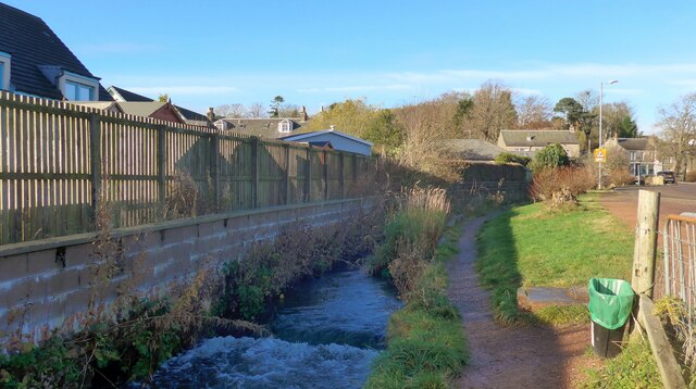
Image: © Gordon Brown Taken: 4 Nov 2020
The OS fail to show this little path - but it is the best way of accessing the Biggar to Broughton trail along the disused railway.
Images are licensed for reuse under creativecommons.org/licenses/by-sa/2.0
Image Location
Latitude
55.621477
Longitude
-3.526606