Seagrove Bay
Introduction
The photograph on this page of Seagrove Bay by Peter Jeffery as part of the Geograph project.
The Geograph project started in 2005 with the aim of publishing, organising and preserving representative images for every square kilometre of Great Britain, Ireland and the Isle of Man.

There are currently over 7.5m images from over 14,400 individuals and you can help contribute to the project by visiting https://www.geograph.org.uk
Seagrove Bay
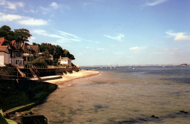
Image: © Peter Jeffery Taken: Unknown
Looking across The Solent to Portsmouth. No Man's Land Fort is visible on the right.
Images are licensed for reuse under creativecommons.org/licenses/by-sa/2.0
Image Location
Latitude
50.718002
Longitude
-1.107682