Trig point at How Hill
Introduction
The photograph on this page of Trig point at How Hill by Trevor Littlewood as part of the Geograph project.
The Geograph project started in 2005 with the aim of publishing, organising and preserving representative images for every square kilometre of Great Britain, Ireland and the Isle of Man.

There are currently over 7.5m images from over 14,400 individuals and you can help contribute to the project by visiting https://www.geograph.org.uk
Trig point at How Hill
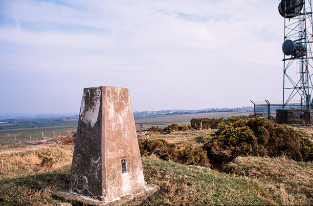
Image: © Trevor Littlewood Taken: 8 Apr 2002
How Hill is a modest elevation rising to 317 m. where there's the trig point (FB No. S6996), and a telecoms mast.
Images are licensed for reuse under creativecommons.org/licenses/by-sa/2.0
Image Location
Latitude
54.718916
Longitude
-2.9443