OS benchmark - Walton on the Hill, St Thomas' church
Introduction
The photograph on this page of OS benchmark - Walton on the Hill, St Thomas' church by Richard Law as part of the Geograph project.
The Geograph project started in 2005 with the aim of publishing, organising and preserving representative images for every square kilometre of Great Britain, Ireland and the Isle of Man.

There are currently over 7.5m images from over 14,400 individuals and you can help contribute to the project by visiting https://www.geograph.org.uk
OS benchmark - Walton on the Hill, St Thomas' church
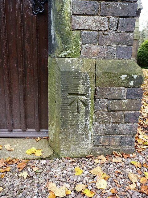
Image: © Richard Law Taken: 18 Oct 2020
A clear OS cutmark on the porch of the village church, last levelled in 1986 at 109.798m above Ordnance Datum Newlyn. It appears on older maps (1884 onwards) at 360.3 or 360.4 feet above Liverpool datum.
Images are licensed for reuse under creativecommons.org/licenses/by-sa/2.0
Image Location
Latitude
52.786467
Longitude
-2.064605