Courtfield House, Trowbridge
Introduction
The photograph on this page of Courtfield House, Trowbridge by Chris Allen as part of the Geograph project.
The Geograph project started in 2005 with the aim of publishing, organising and preserving representative images for every square kilometre of Great Britain, Ireland and the Isle of Man.

There are currently over 7.5m images from over 14,400 individuals and you can help contribute to the project by visiting https://www.geograph.org.uk
Courtfield House, Trowbridge
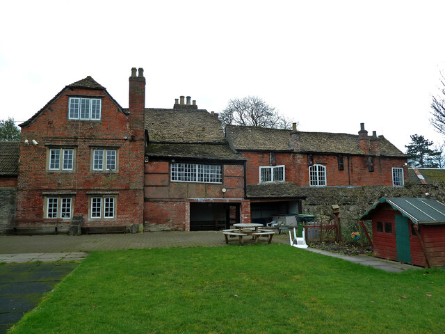
Image: © Chris Allen Taken: 8 Jan 2012
Listed Grade II* and was a preparatory school when photographed. It has since been sold for redevelopment and suffered vandalism. It dates from c1754 and was built as a Clothier's house. The building to the right is a workshop of domestic type where finishing processes were carried out. The adjoining Courts Mill was mostly demolished in 1967 but a block of c1848 survives.
Images are licensed for reuse under creativecommons.org/licenses/by-sa/2.0
Image Location
Latitude
51.3194
Longitude
-2.202709