Archway at the bottom of South Street, Quay Street, Lostwithiel
Introduction
The photograph on this page of Archway at the bottom of South Street, Quay Street, Lostwithiel by Humphrey Bolton as part of the Geograph project.
The Geograph project started in 2005 with the aim of publishing, organising and preserving representative images for every square kilometre of Great Britain, Ireland and the Isle of Man.

There are currently over 7.5m images from over 14,400 individuals and you can help contribute to the project by visiting https://www.geograph.org.uk
Archway at the bottom of South Street, Quay Street, Lostwithiel
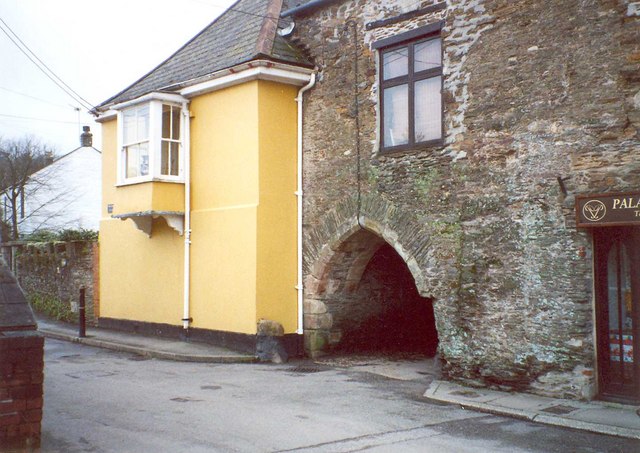
Image: © Humphrey Bolton Taken: 7 Mar 2001
Part of various medieval buildings associated with the Stannary Court.
Images are licensed for reuse under creativecommons.org/licenses/by-sa/2.0
Image Location
Latitude
50.40561
Longitude
-4.669537