Summit rocks
Introduction
The photograph on this page of Summit rocks by Jonathan Wilkins as part of the Geograph project.
The Geograph project started in 2005 with the aim of publishing, organising and preserving representative images for every square kilometre of Great Britain, Ireland and the Isle of Man.

There are currently over 7.5m images from over 14,400 individuals and you can help contribute to the project by visiting https://www.geograph.org.uk
Summit rocks
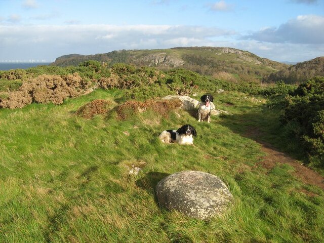
Image: © Jonathan Wilkins Taken: 31 Oct 2020
Gorse has covered most of the rock outcrop, but there are a few places where the rhyolite shows through. The rock is an interesting, nodular tuff which is also found in outcrops on the south of the Vardre in Deganwy (see Image). Because it is resistant to erosion there is high ground with poor soil developed where it is present. Here there is also a fine erratic boulder, which shows that ice was at least as high as this point during the last glaciation.
Images are licensed for reuse under creativecommons.org/licenses/by-sa/2.0
Image Location
Latitude
53.308959
Longitude
-3.821087