Bowling Greens, The Parks Sports Centre, North Shields
Introduction
The photograph on this page of Bowling Greens, The Parks Sports Centre, North Shields by Geoff Holland as part of the Geograph project.
The Geograph project started in 2005 with the aim of publishing, organising and preserving representative images for every square kilometre of Great Britain, Ireland and the Isle of Man.

There are currently over 7.5m images from over 14,400 individuals and you can help contribute to the project by visiting https://www.geograph.org.uk
Bowling Greens, The Parks Sports Centre, North Shields
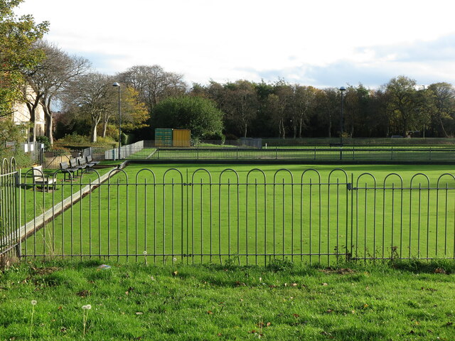
Image: © Geoff Holland Taken: 30 Oct 2020
These bowling greens form part of the Parks Sports Centre which lies between Howdon Road and Minton Lane. This area was shown on the 1899 second edition of the Ordnance Survey Six-Inch map of the area as the, 'West End Recreation Ground', an area used for the recreation of the workers from the nearby Smiths Docks Company. For a selection of detailed free to download walking routes in the area visit www.northtynesidewalks.co.uk
Images are licensed for reuse under creativecommons.org/licenses/by-sa/2.0
Image Location
Latitude
55.001675
Longitude
-1.458288