Westfield Lane
Introduction
The photograph on this page of Westfield Lane by Gordon Hatton as part of the Geograph project.
The Geograph project started in 2005 with the aim of publishing, organising and preserving representative images for every square kilometre of Great Britain, Ireland and the Isle of Man.

There are currently over 7.5m images from over 14,400 individuals and you can help contribute to the project by visiting https://www.geograph.org.uk
Westfield Lane
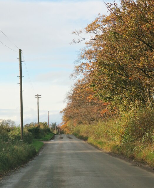
Image: © Gordon Hatton Taken: 30 Oct 2020
Heading north west from Arkendale towards the White Cross junction with A6055.
Images are licensed for reuse under creativecommons.org/licenses/by-sa/2.0
Image Location
Latitude
54.046877
Longitude
-1.415794