The Mall Walk, Thurso
Introduction
The photograph on this page of The Mall Walk, Thurso by Julian Paren as part of the Geograph project.
The Geograph project started in 2005 with the aim of publishing, organising and preserving representative images for every square kilometre of Great Britain, Ireland and the Isle of Man.

There are currently over 7.5m images from over 14,400 individuals and you can help contribute to the project by visiting https://www.geograph.org.uk
The Mall Walk, Thurso
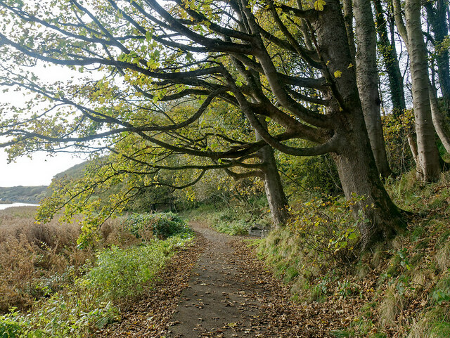
Image: © Julian Paren Taken: 29 Oct 2020
Pathways and bridges were constructed during the lifetime of the Mall Walk Project led by Thurso Rotary Club, so that there are all-weather paths out of Thurso on the banks of the River Thurso. This brings the countryside right into the centre of Thurso and its park.
Images are licensed for reuse under creativecommons.org/licenses/by-sa/2.0
Image Location
Latitude
58.587384
Longitude
-3.528115