Bonhill High Dykes Development
Introduction
The photograph on this page of Bonhill High Dykes Development by Lairich Rig as part of the Geograph project.
The Geograph project started in 2005 with the aim of publishing, organising and preserving representative images for every square kilometre of Great Britain, Ireland and the Isle of Man.

There are currently over 7.5m images from over 14,400 individuals and you can help contribute to the project by visiting https://www.geograph.org.uk
Bonhill High Dykes Development
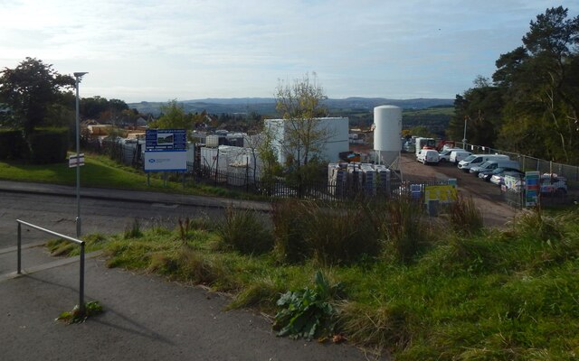
Image: © Lairich Rig Taken: 15 Oct 2020
Housing is being built on the former site of Highdykes Primary School. The large sign uses the spelling "High Dykes" (with a space) for the development. The nearby farm is called Highdykes: Image See Image and Image for views from the other side. Highdykes is the name of a nearby farm: Image The Blaeu map of the Lennox (1654, but based on earlier surveys from c.1600) shows it as Headdycks, but it has its present-day spelling of Highdykes on Roy's Military Survey of Scotland (c.1740s-50s).
Images are licensed for reuse under creativecommons.org/licenses/by-sa/2.0
Image Location
Latitude
55.975895
Longitude
-4.556836