Claydon Hall and associated farm buildings
Introduction
The photograph on this page of Claydon Hall and associated farm buildings by Simon Mortimer as part of the Geograph project.
The Geograph project started in 2005 with the aim of publishing, organising and preserving representative images for every square kilometre of Great Britain, Ireland and the Isle of Man.

There are currently over 7.5m images from over 14,400 individuals and you can help contribute to the project by visiting https://www.geograph.org.uk
Claydon Hall and associated farm buildings
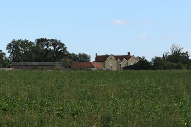
Image: © Simon Mortimer Taken: 21 Aug 2020
The hall dates back to the 14th Century and is reputed to have been built on the site of castle. It is a Grade II Listed Building.
Images are licensed for reuse under creativecommons.org/licenses/by-sa/2.0
Image Location
Latitude
52.102529
Longitude
1.125881