Former vicarage
Introduction
The photograph on this page of Former vicarage by Philip Halling as part of the Geograph project.
The Geograph project started in 2005 with the aim of publishing, organising and preserving representative images for every square kilometre of Great Britain, Ireland and the Isle of Man.

There are currently over 7.5m images from over 14,400 individuals and you can help contribute to the project by visiting https://www.geograph.org.uk
Former vicarage
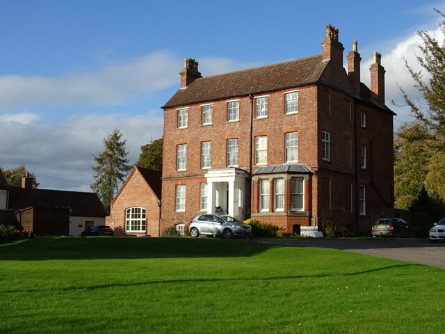
Image: © Philip Halling Taken: 22 Oct 2020
This large house was Dymock's vicarage, built in the mid-18th century and altered in the 19th century, today this Grade II listed building https://historicengland.org.uk/listing/the-list/list-entry/1078515 has been converted into apartments.
Images are licensed for reuse under creativecommons.org/licenses/by-sa/2.0
Image Location
Latitude
51.978625
Longitude
-2.438768