Christ Church, Cockfosters
Introduction
The photograph on this page of Christ Church, Cockfosters by Vicky Ayech as part of the Geograph project.
The Geograph project started in 2005 with the aim of publishing, organising and preserving representative images for every square kilometre of Great Britain, Ireland and the Isle of Man.

There are currently over 7.5m images from over 14,400 individuals and you can help contribute to the project by visiting https://www.geograph.org.uk
Christ Church, Cockfosters
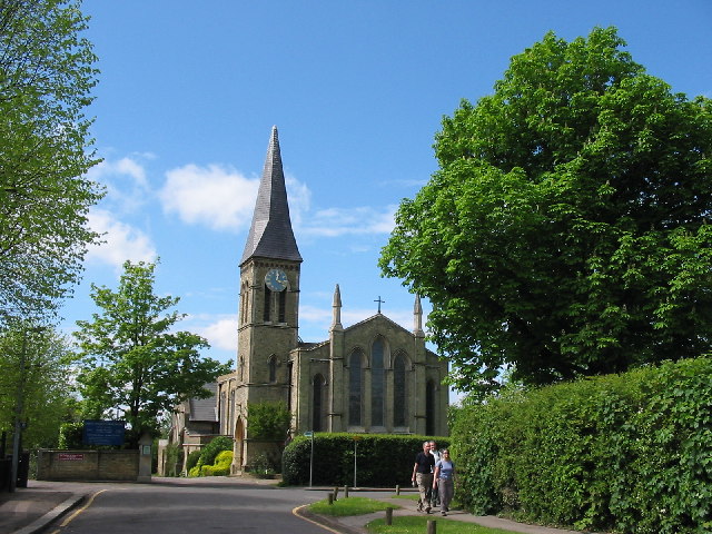
Image: © Vicky Ayech Taken: 2 May 2005
Designed by Henry Edward Kendall and built in 1839. Viewed from Chalk Lane. http://www.achurchnearyou.com/christ-church-cockfosters/
Images are licensed for reuse under creativecommons.org/licenses/by-sa/2.0
Image Location


Leaflet Map data © OpenStreetMap
Latitude
51.653694
Longitude
-0.155443