Woodfield Farm
Introduction
The photograph on this page of Woodfield Farm by Philip Halling as part of the Geograph project.
The Geograph project started in 2005 with the aim of publishing, organising and preserving representative images for every square kilometre of Great Britain, Ireland and the Isle of Man.

There are currently over 7.5m images from over 14,400 individuals and you can help contribute to the project by visiting https://www.geograph.org.uk
Woodfield Farm
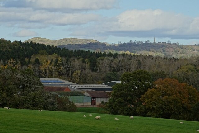
Image: © Philip Halling Taken: 22 Oct 2020
Woodfield Farm with the Malvern Hills on the distance, the British Camp on the Herefordshire Beacon is on the left and the obelisk in Eastnor Park on the right.
Images are licensed for reuse under creativecommons.org/licenses/by-sa/2.0
Image Location
Latitude
52.008517
Longitude
-2.401618