Field west of Haversham
Introduction
The photograph on this page of Field west of Haversham by Stephen McKay as part of the Geograph project.
The Geograph project started in 2005 with the aim of publishing, organising and preserving representative images for every square kilometre of Great Britain, Ireland and the Isle of Man.

There are currently over 7.5m images from over 14,400 individuals and you can help contribute to the project by visiting https://www.geograph.org.uk
Field west of Haversham
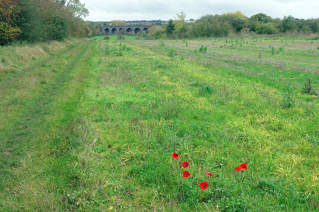
Image: © Stephen McKay Taken: 23 Oct 2020
Looking down into the Great Ouse valley with the viaduct carrying the West Coast Main Line railway across the river. The poppies brighten up this otherwise drab fallow field.
Images are licensed for reuse under creativecommons.org/licenses/by-sa/2.0
Image Location
Latitude
52.077913
Longitude
-0.810293