On the London Loop at Havering-atte-Bower
Introduction
The photograph on this page of On the London Loop at Havering-atte-Bower by Peter S as part of the Geograph project.
The Geograph project started in 2005 with the aim of publishing, organising and preserving representative images for every square kilometre of Great Britain, Ireland and the Isle of Man.

There are currently over 7.5m images from over 14,400 individuals and you can help contribute to the project by visiting https://www.geograph.org.uk
On the London Loop at Havering-atte-Bower
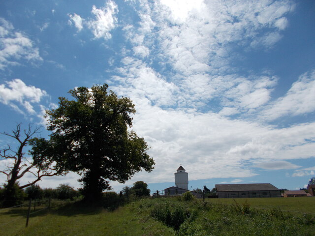
Image: © Peter S Taken: 13 Jun 2020
Havering-atte-Bower is a village on a hill with distant views of London. It is passed on section 14 of the London Loop between Harold Wood and Havering Country Park.
Images are licensed for reuse under creativecommons.org/licenses/by-sa/2.0
Image Location
Latitude
51.619083
Longitude
0.18942