The Woolpack, Church Street, Coggeshall
Introduction
The photograph on this page of The Woolpack, Church Street, Coggeshall by Tim Heaton as part of the Geograph project.
The Geograph project started in 2005 with the aim of publishing, organising and preserving representative images for every square kilometre of Great Britain, Ireland and the Isle of Man.

There are currently over 7.5m images from over 14,400 individuals and you can help contribute to the project by visiting https://www.geograph.org.uk
The Woolpack, Church Street, Coggeshall
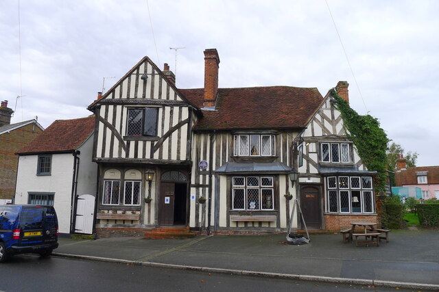
Image: © Tim Heaton Taken: 14 Oct 2020
The plaque by the door reads: "Woolpack Inn, 14th-16th C, 1665 home of the Rev T Lowrey elected minister of the Church of England, Licensed for worship 1672, Licensed as an inn 1708"
Images are licensed for reuse under creativecommons.org/licenses/by-sa/2.0
Image Location
Latitude
51.874415
Longitude
0.690692