Wharf House, Weston
Introduction
The photograph on this page of Wharf House, Weston by Christine Johnstone as part of the Geograph project.
The Geograph project started in 2005 with the aim of publishing, organising and preserving representative images for every square kilometre of Great Britain, Ireland and the Isle of Man.

There are currently over 7.5m images from over 14,400 individuals and you can help contribute to the project by visiting https://www.geograph.org.uk
Wharf House, Weston
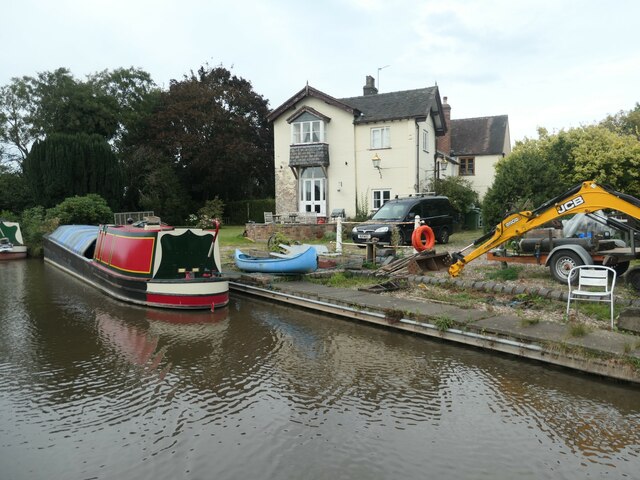
Image: © Christine Johnstone Taken: 23 Sep 2020
The large-scale map from the 1880s shows a crane where the JCB arm currently is.
Images are licensed for reuse under creativecommons.org/licenses/by-sa/2.0
Image Location
Latitude
52.83628
Longitude
-2.037514