Grass and woodland near Sutton Farm, Kidderminster
Introduction
The photograph on this page of Grass and woodland near Sutton Farm, Kidderminster by Roger Kidd as part of the Geograph project.
The Geograph project started in 2005 with the aim of publishing, organising and preserving representative images for every square kilometre of Great Britain, Ireland and the Isle of Man.

There are currently over 7.5m images from over 14,400 individuals and you can help contribute to the project by visiting https://www.geograph.org.uk
Grass and woodland near Sutton Farm, Kidderminster
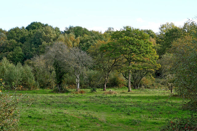
Image: © Roger Kidd Taken: 15 Oct 2020
Looking south-east, this shows one of the grassy areas on the Rifle Range Nature Reserve between Kidderminster and Bewdley. There are several public footpaths and a bridleway crossing the reserve, as well as many other interesting tracks to explore. This applies across the adjacent Devil's Spittleful reserve.
Images are licensed for reuse under creativecommons.org/licenses/by-sa/2.0
Image Location
Latitude
52.373889
Longitude
-2.276399