The Mires
Introduction
The photograph on this page of The Mires by Derek Harper as part of the Geograph project.
The Geograph project started in 2005 with the aim of publishing, organising and preserving representative images for every square kilometre of Great Britain, Ireland and the Isle of Man.

There are currently over 7.5m images from over 14,400 individuals and you can help contribute to the project by visiting https://www.geograph.org.uk
The Mires
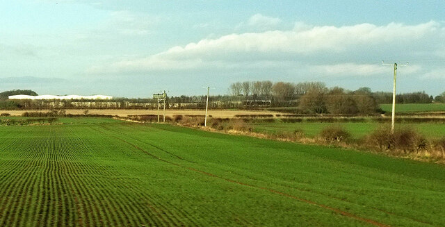
Image: © Derek Harper Taken: 30 Dec 2019
Looking right from Image The nearby field boundary is along the Sprinkle Beck. The white building is on Melmerby Industrial Estate - or possibly Barker Business Park.
Images are licensed for reuse under creativecommons.org/licenses/by-sa/2.0
Image Location
Latitude
54.165163
Longitude
-1.47616