Vine Lea
Introduction
The photograph on this page of Vine Lea by Jonathan Thacker as part of the Geograph project.
The Geograph project started in 2005 with the aim of publishing, organising and preserving representative images for every square kilometre of Great Britain, Ireland and the Isle of Man.

There are currently over 7.5m images from over 14,400 individuals and you can help contribute to the project by visiting https://www.geograph.org.uk
Vine Lea
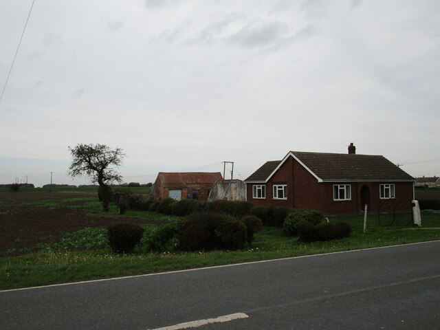
Image: © Jonathan Thacker Taken: 20 Oct 2020
A bungalow built on the site of an earlier dwelling. Many of the farms in the Fens were very small (both as buildings and holdings) and unstable ground led to their early demise, or in this case, replacement.
Images are licensed for reuse under creativecommons.org/licenses/by-sa/2.0
Image Location
Latitude
53.087053
Longitude
-0.224055