Footpath with trees near Kidderminster, Worcestershire
Introduction
The photograph on this page of Footpath with trees near Kidderminster, Worcestershire by Roger Kidd as part of the Geograph project.
The Geograph project started in 2005 with the aim of publishing, organising and preserving representative images for every square kilometre of Great Britain, Ireland and the Isle of Man.

There are currently over 7.5m images from over 14,400 individuals and you can help contribute to the project by visiting https://www.geograph.org.uk
Footpath with trees near Kidderminster, Worcestershire
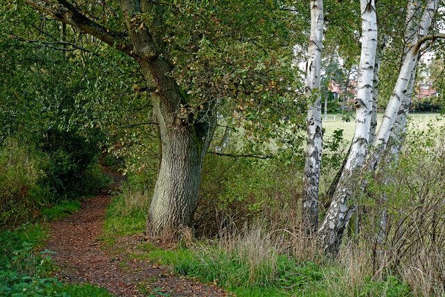
Image: © Roger Kidd Taken: 15 Oct 2020
The public footpath leads from the Rifle Range Nature Reserve towards Rhydd Covert and the safari park. Beyond the field on the right is housing in Whitehill Road.
Images are licensed for reuse under creativecommons.org/licenses/by-sa/2.0
Image Location
Latitude
52.375412
Longitude
-2.278612