Essex Way heading North East towards Cressing
Introduction
The photograph on this page of Essex Way heading North East towards Cressing by Chris Heaton as part of the Geograph project.
The Geograph project started in 2005 with the aim of publishing, organising and preserving representative images for every square kilometre of Great Britain, Ireland and the Isle of Man.

There are currently over 7.5m images from over 14,400 individuals and you can help contribute to the project by visiting https://www.geograph.org.uk
Essex Way heading North East towards Cressing
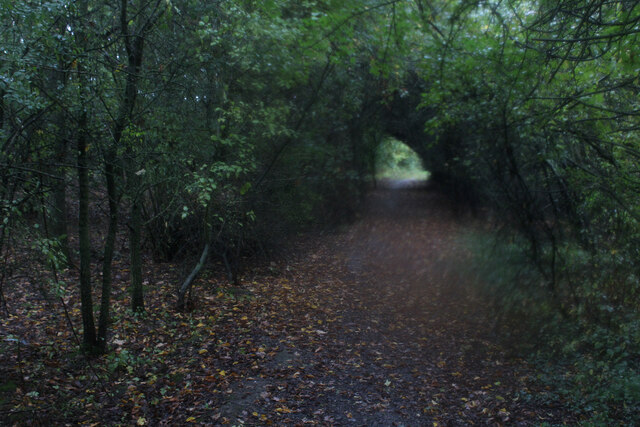
Image: © Chris Heaton Taken: 13 Oct 2020
After leaving the B1018 Whitham Road, the Essex Way heads through a short dark green tunnel before heading across open fields towards the church at Cressing.
Images are licensed for reuse under creativecommons.org/licenses/by-sa/2.0
Image Location
Latitude
51.851714
Longitude
0.596397