Holly in Warley Gap
Introduction
The photograph on this page of Holly in Warley Gap by Roger Jones as part of the Geograph project.
The Geograph project started in 2005 with the aim of publishing, organising and preserving representative images for every square kilometre of Great Britain, Ireland and the Isle of Man.

There are currently over 7.5m images from over 14,400 individuals and you can help contribute to the project by visiting https://www.geograph.org.uk
Holly in Warley Gap
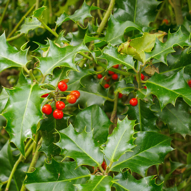
Image: © Roger Jones Taken: 18 Oct 2020
Ilex aquifolium. Warley Gap is a narrow belt of woodland, part of Thames Chase Community Forest. See http://www.thameschase.org.uk/visitor-centres/brentwood/warley-gap
Images are licensed for reuse under creativecommons.org/licenses/by-sa/2.0
Image Location
Latitude
51.59047
Longitude
0.302084