27, Nelson Street
Introduction
The photograph on this page of 27, Nelson Street by John Baker as part of the Geograph project.
The Geograph project started in 2005 with the aim of publishing, organising and preserving representative images for every square kilometre of Great Britain, Ireland and the Isle of Man.

There are currently over 7.5m images from over 14,400 individuals and you can help contribute to the project by visiting https://www.geograph.org.uk
27, Nelson Street
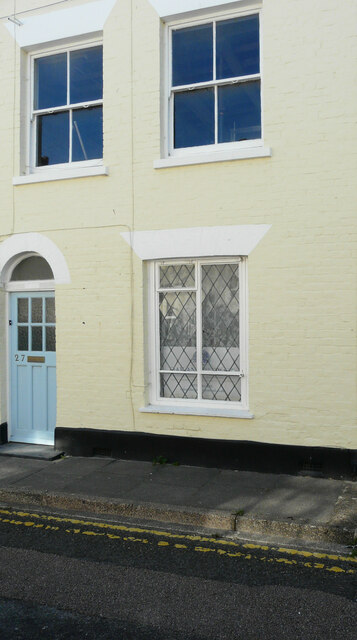
Image: © John Baker Taken: 13 Sep 2020
Planning permission has been granted by Dover District Council under application number DOV/20/00362 for the “erection of single storey side and rear extensions with roof light to rear roof slope (existing conservatory to be demolished)”.
Images are licensed for reuse under creativecommons.org/licenses/by-sa/2.0
Image Location
Latitude
51.227275
Longitude
1.400534