The Butts
Introduction
The photograph on this page of The Butts by Mark Percy as part of the Geograph project.
The Geograph project started in 2005 with the aim of publishing, organising and preserving representative images for every square kilometre of Great Britain, Ireland and the Isle of Man.

There are currently over 7.5m images from over 14,400 individuals and you can help contribute to the project by visiting https://www.geograph.org.uk
The Butts
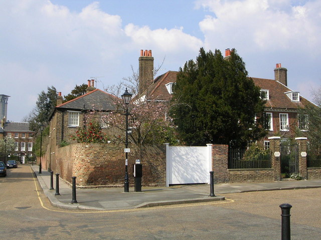
Image: © Mark Percy Taken: 31 Mar 2007
In the heart of Brentford, and deserving to be better known, are The Butts, a street and square of red brick houses developed from the 1680s. The houses bear comparison, in their more modest way, with their contemporaries around Salisbury cathedral close, and their leafy gardens provide some echo of the 'seat of paradise' the area was once considered to be.
Images are licensed for reuse under creativecommons.org/licenses/by-sa/2.0
Image Location
Latitude
51.485072
Longitude
-0.303405