Southolt village sign
Introduction
The photograph on this page of Southolt village sign by Adrian S Pye as part of the Geograph project.
The Geograph project started in 2005 with the aim of publishing, organising and preserving representative images for every square kilometre of Great Britain, Ireland and the Isle of Man.

There are currently over 7.5m images from over 14,400 individuals and you can help contribute to the project by visiting https://www.geograph.org.uk
Southolt village sign
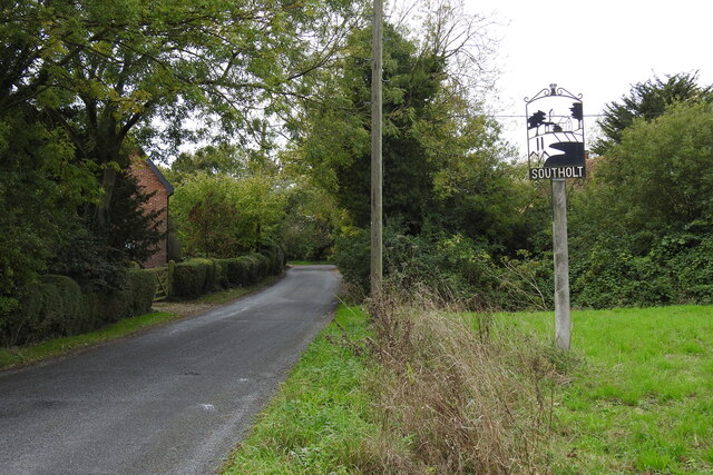
Image: © Adrian S Pye Taken: 16 Oct 2020
The sign is topped by a sheaf of corn, below which is the church surrounded by trees and below that bulrushes beside water, probably pertaining to Moat Lodge where bulrushes proliferate. https://www.geograph.org.uk/photo/6641030
Images are licensed for reuse under creativecommons.org/licenses/by-sa/2.0
Image Location
Latitude
52.27312
Longitude
1.213675