Roydon St. Remigius village sign
Introduction
The photograph on this page of Roydon St. Remigius village sign by Adrian S Pye as part of the Geograph project.
The Geograph project started in 2005 with the aim of publishing, organising and preserving representative images for every square kilometre of Great Britain, Ireland and the Isle of Man.

There are currently over 7.5m images from over 14,400 individuals and you can help contribute to the project by visiting https://www.geograph.org.uk
Roydon St. Remigius village sign
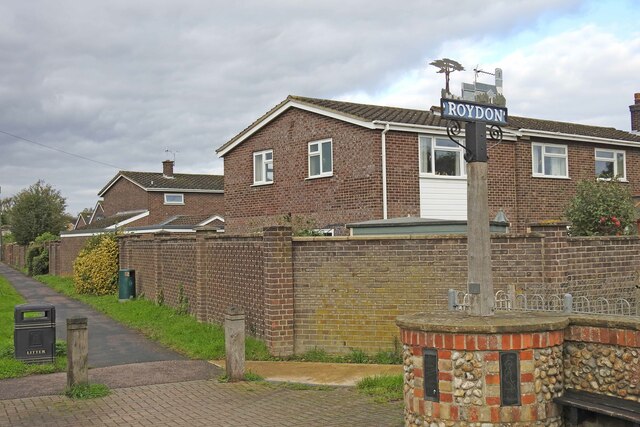
Image: © Adrian S Pye Taken: 16 Oct 2020
The sign features the church and churchyard and the cedar tree which was once a feature of the churchyard until it was felled. The timber however was utilised in the construction of the new parish room. https://www.geograph.org.uk/photo/6640487
Images are licensed for reuse under creativecommons.org/licenses/by-sa/2.0
Image Location
Latitude
52.379835
Longitude
1.087099