Former Railway Bridge
Introduction
The photograph on this page of Former Railway Bridge by Anne Burgess as part of the Geograph project.
The Geograph project started in 2005 with the aim of publishing, organising and preserving representative images for every square kilometre of Great Britain, Ireland and the Isle of Man.

There are currently over 7.5m images from over 14,400 individuals and you can help contribute to the project by visiting https://www.geograph.org.uk
Former Railway Bridge
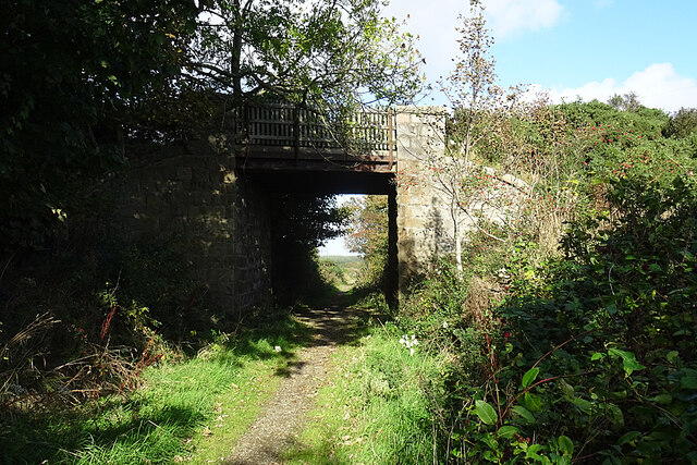
Image: © Anne Burgess Taken: 14 Oct 2020
This is the only surviving bridge between Fraserburgh and Strichen that has a wooden fence instead of a cast iron parapet. From the look of the map I think it may be disused.
Images are licensed for reuse under creativecommons.org/licenses/by-sa/2.0
Image Location
Latitude
57.632288
Longitude
-1.972523