Buildings at Low Waskerley
Introduction
The photograph on this page of Buildings at Low Waskerley by Robert Graham as part of the Geograph project.
The Geograph project started in 2005 with the aim of publishing, organising and preserving representative images for every square kilometre of Great Britain, Ireland and the Isle of Man.

There are currently over 7.5m images from over 14,400 individuals and you can help contribute to the project by visiting https://www.geograph.org.uk
Buildings at Low Waskerley
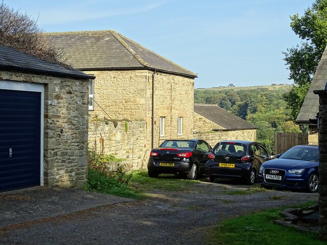
Image: © Robert Graham Taken: 21 Sep 2020
This former farm has been converted to a range of dwellings in recent years. It was originally a large 19th century planned farmstead. There is a view here between the buildings to the east side of the River Derwent at Shotley Bridge.
Images are licensed for reuse under creativecommons.org/licenses/by-sa/2.0
Image Location
Latitude
54.873584
Longitude
-1.866732