
East Chinnock from the Memorial Field and beyond
Introduction
The photograph on this page of East Chinnock from the Memorial Field and beyond by Sarah Smith as part of the Geograph project.
The Geograph project started in 2005 with the aim of publishing, organising and preserving representative images for every square kilometre of Great Britain, Ireland and the Isle of Man.

There are currently over 7.5m images from over 14,400 individuals and you can help contribute to the project by visiting https://www.geograph.org.uk
East Chinnock from the Memorial Field and beyond
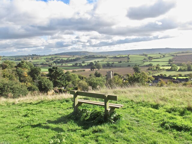
Image: © Sarah Smith Taken: 10 Oct 2020
Although only a short steep walk from the village the Memorial Field commands a panoramic view of the village rooftops and church tower and beyond. It is named the Memorial Field as there are memorial plaques set below planted trees and a white wooden cross. Out of the grid square in question and on the horizon to the left in is Pen Wood near Pendomer and beyond that Corscombe and Winyards Gap in Dorset.
Images are licensed for reuse under creativecommons.org/licenses/by-sa/2.0
Image Location

Latitude
50.917957
Longitude
-2.715221