Highfields: Main Street bungalows
Introduction
The photograph on this page of Highfields: Main Street bungalows by John Sutton as part of the Geograph project.
The Geograph project started in 2005 with the aim of publishing, organising and preserving representative images for every square kilometre of Great Britain, Ireland and the Isle of Man.

There are currently over 7.5m images from over 14,400 individuals and you can help contribute to the project by visiting https://www.geograph.org.uk
Highfields: Main Street bungalows
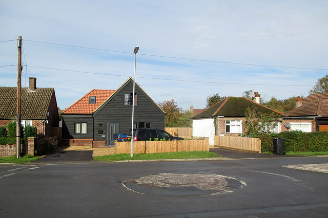
Image: © John Sutton Taken: 14 Oct 2020
Opposite the northern end of Clare Drive and photographed on an October morning as the sun was beginning to break through high cloud.
Images are licensed for reuse under creativecommons.org/licenses/by-sa/2.0
Image Location
Latitude
52.212224
Longitude
-0.019394