Highfields: Strympole Way
Introduction
The photograph on this page of Highfields: Strympole Way by John Sutton as part of the Geograph project.
The Geograph project started in 2005 with the aim of publishing, organising and preserving representative images for every square kilometre of Great Britain, Ireland and the Isle of Man.

There are currently over 7.5m images from over 14,400 individuals and you can help contribute to the project by visiting https://www.geograph.org.uk
Highfields: Strympole Way
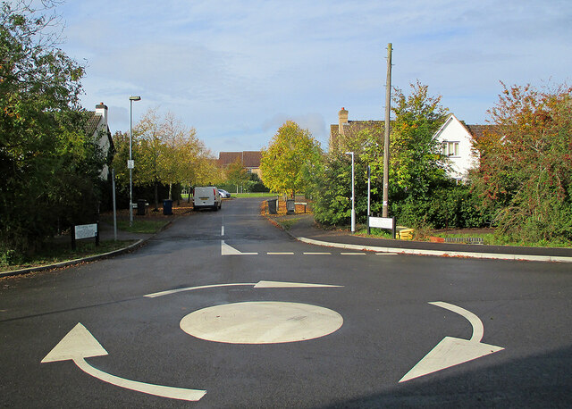
Image: © John Sutton Taken: 14 Oct 2020
Now here are some names: Strympole Way leads (among others) to Goose Cross, Dorral Dean, Stargoose Close and Flaxton Glade. This is a newish estate off Main Street at the south end of Highfields.
Images are licensed for reuse under creativecommons.org/licenses/by-sa/2.0
Image Location
Latitude
52.206125
Longitude
-0.025666