A fine track
Introduction
The photograph on this page of A fine track by Neville Goodman as part of the Geograph project.
The Geograph project started in 2005 with the aim of publishing, organising and preserving representative images for every square kilometre of Great Britain, Ireland and the Isle of Man.

There are currently over 7.5m images from over 14,400 individuals and you can help contribute to the project by visiting https://www.geograph.org.uk
A fine track
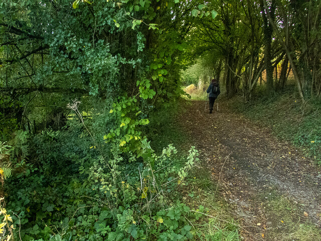
Image: © Neville Goodman Taken: 11 Oct 2020
This track runs along the north side of Wavering Down, eventually becoming Barton Drove, a fine old track between rows of trees. At the point shown, a short overgrown track (marked on the 1:25000 OS map by a widening of the main track) goes off to a gate on the left. The lefthand gatepost carries an OS benchmark Image
Images are licensed for reuse under creativecommons.org/licenses/by-sa/2.0
Image Location
Latitude
51.303599
Longitude
-2.866658