Path and wall of former RNAD Marchwood
Introduction
The photograph on this page of Path and wall of former RNAD Marchwood by David Martin as part of the Geograph project.
The Geograph project started in 2005 with the aim of publishing, organising and preserving representative images for every square kilometre of Great Britain, Ireland and the Isle of Man.

There are currently over 7.5m images from over 14,400 individuals and you can help contribute to the project by visiting https://www.geograph.org.uk
Path and wall of former RNAD Marchwood
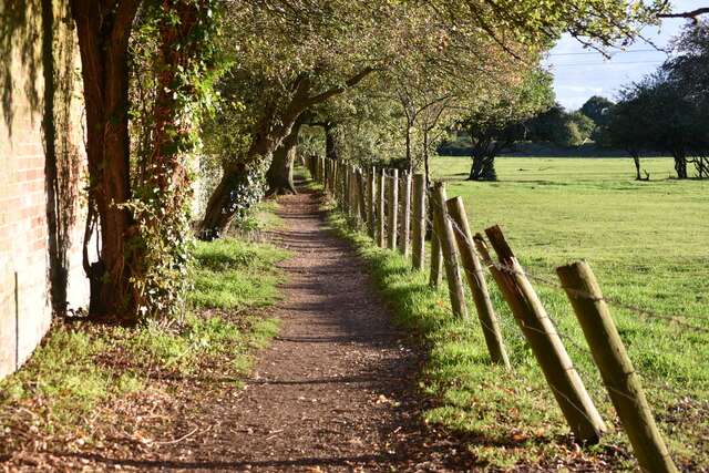
Image: © David Martin Taken: 11 Oct 2020
The former Royal Naval Armaments Depot has been redeveloped as a housing estate but this section of the perimeter wall remains, lit by the late afternoon sunlight.
Images are licensed for reuse under creativecommons.org/licenses/by-sa/2.0
Image Location
Latitude
50.900321
Longitude
-1.447914