Roundabout at the foot of Cure Hill
Introduction
The photograph on this page of Roundabout at the foot of Cure Hill by Humphrey Bolton as part of the Geograph project.
The Geograph project started in 2005 with the aim of publishing, organising and preserving representative images for every square kilometre of Great Britain, Ireland and the Isle of Man.

There are currently over 7.5m images from over 14,400 individuals and you can help contribute to the project by visiting https://www.geograph.org.uk
Roundabout at the foot of Cure Hill
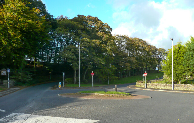
Image: © Humphrey Bolton Taken: 10 Oct 2020
The roundabout is at the junction with Farleigh Crescent, which is the spine road for quite a large housing estate. Cure Hill is a dual carriageway with a strip of trees between the two roadways. Presumably a road widening was needed but the trees were protected.
Images are licensed for reuse under creativecommons.org/licenses/by-sa/2.0
Image Location
Latitude
53.848941
Longitude
-1.959987