Sunniside farm at Iveston
Introduction
The photograph on this page of Sunniside farm at Iveston by Robert Graham as part of the Geograph project.
The Geograph project started in 2005 with the aim of publishing, organising and preserving representative images for every square kilometre of Great Britain, Ireland and the Isle of Man.

There are currently over 7.5m images from over 14,400 individuals and you can help contribute to the project by visiting https://www.geograph.org.uk
Sunniside farm at Iveston
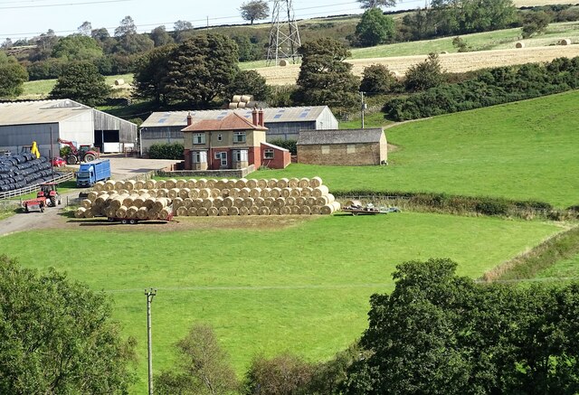
Image: © Robert Graham Taken: 14 Sep 2020
This farm lies in the fields to the east of the village. It dates back to the mid 19th century at least, but all the present buildings are much younger than that. Second half of the 20th century I would think. There has been a good hay harvest, judging from all the bales.
Images are licensed for reuse under creativecommons.org/licenses/by-sa/2.0
Image Location
Latitude
54.851877
Longitude
-1.772108