Petty Hall Conservation Area, Orton
Introduction
The photograph on this page of Petty Hall Conservation Area, Orton by Stephen Craven as part of the Geograph project.
The Geograph project started in 2005 with the aim of publishing, organising and preserving representative images for every square kilometre of Great Britain, Ireland and the Isle of Man.

There are currently over 7.5m images from over 14,400 individuals and you can help contribute to the project by visiting https://www.geograph.org.uk
Petty Hall Conservation Area, Orton
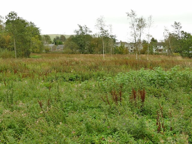
Image: © Stephen Craven Taken: 16 Sep 2020
A 'conservation area' in this instance means an area of land set aside for nature conservation. A board on site records that the 0.65 hectare site was turned over from stock grazing to wetland plants in 1995.
Images are licensed for reuse under creativecommons.org/licenses/by-sa/2.0
Image Location
Latitude
54.467218
Longitude
-2.583783