Burymoor Plantation; information post on Tarka Trail
Introduction
The photograph on this page of Burymoor Plantation; information post on Tarka Trail by David Smith as part of the Geograph project.
The Geograph project started in 2005 with the aim of publishing, organising and preserving representative images for every square kilometre of Great Britain, Ireland and the Isle of Man.

There are currently over 7.5m images from over 14,400 individuals and you can help contribute to the project by visiting https://www.geograph.org.uk
Burymoor Plantation; information post on Tarka Trail
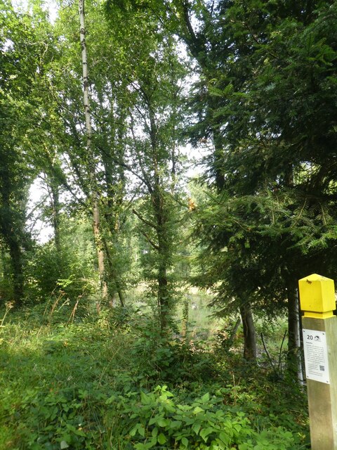
Image: © David Smith Taken: 16 Sep 2020
Along the Tarka Trail there are several information posts about matters of local interest
Images are licensed for reuse under creativecommons.org/licenses/by-sa/2.0
Image Location


Leaflet Map data © OpenStreetMap
Latitude
50.874302
Longitude
-4.108455